“Under the Merovingians in Neustria (an archaic subdivision of Normandy), administrative districts were named after the name of the watercourse which constitutes its central axis. On both sides of the river « La Telle » (the old name of « La Béthune ») which waters the Pays de Bray, appears LE TALOU, hence the area known as Talou. Similary thanks to the river « La Vimeuse », we see the emergence of the area we know as « Le Vimeu »..
Le Talou (Pagus Tellaus) apparently corresponded to the valley between the Picardy plateau and the cauchois plateau between the rivers « La Bresle » and « La Scie ». It extends to the interieur as far as Aumale. Further to the south, it extends towards the river « L’Epte » and to Rouvray(-Catillon), but its limits often fluctuated during the centuries..
The Talou was preserved by the carolingian administration and it is maintained this area became a Norman market following the agreements of Saint-Clair-sur-Epte in 911. Duke Richard I, died in 996, distracted the western part which, according to the historian Guillaume de Jumièges, he erected as Count of Ou (Comté d’Eu). The western part briefly became the Count of Talou (Comté du Talou) which soon took the name of its principal commune – Arques.” (Gaudefroy Ghislain. Le comté d’Eu au fil du temps, Editions Page de Garde, Elbeuf, 2003, 326 p.)
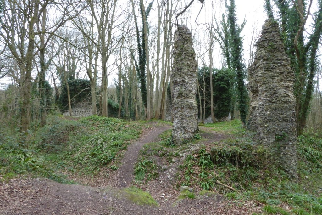
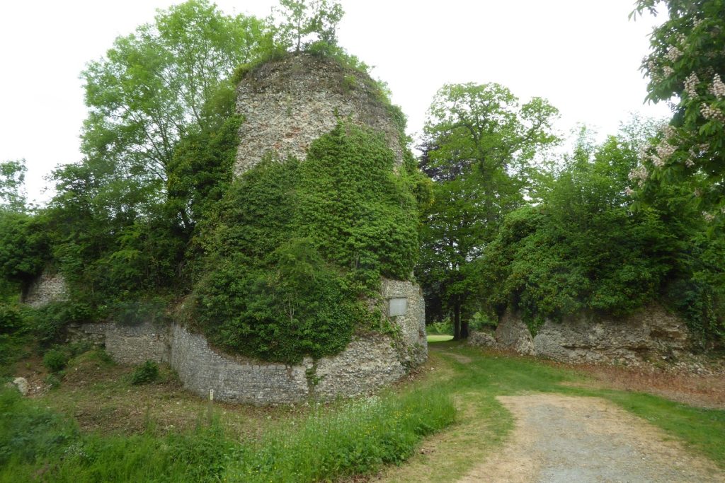
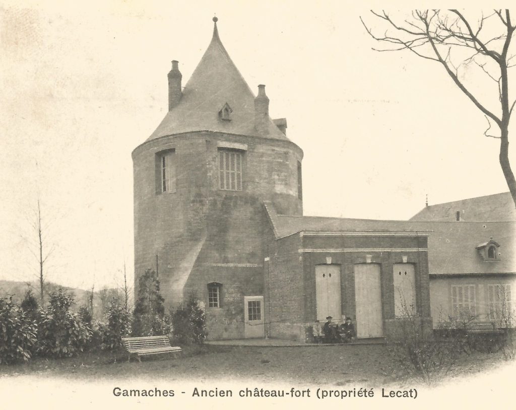
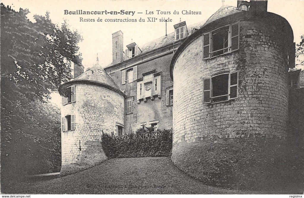
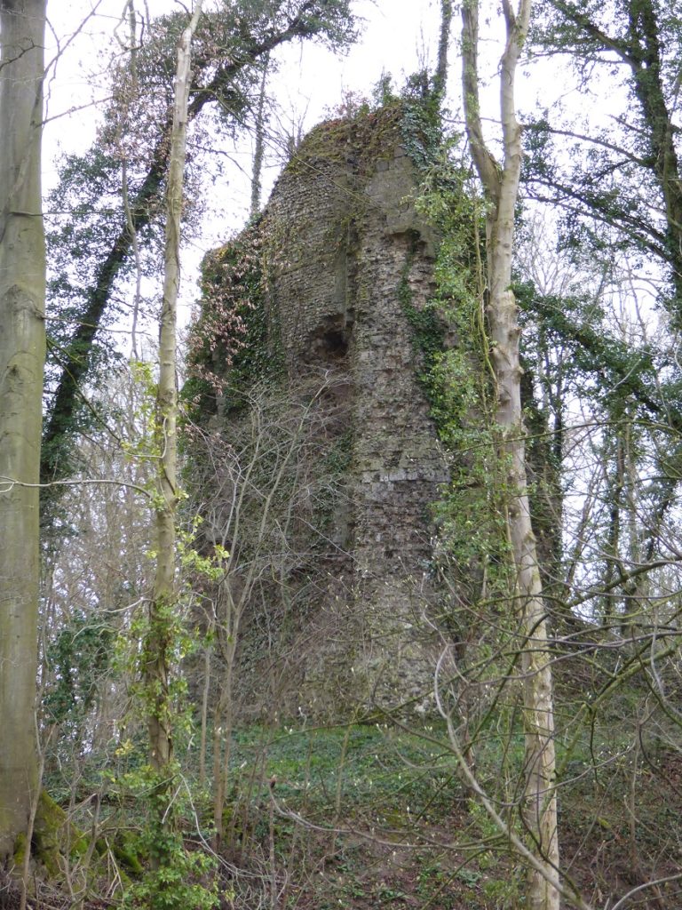
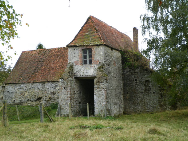
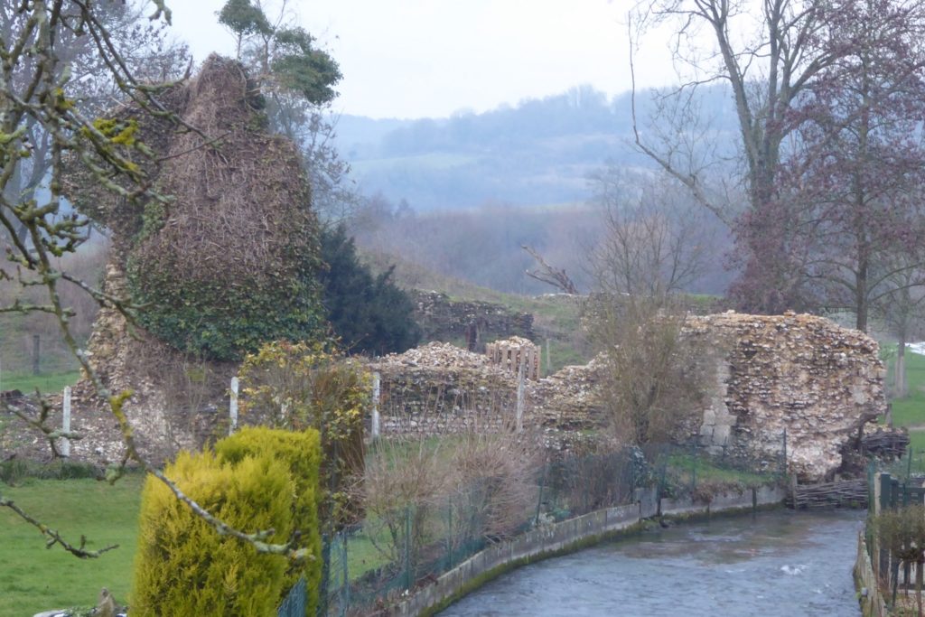
Below are illustrations of fortifications in Talou, being the ancient North East frontier between the Duchy of Normandy and the kingdom of France.
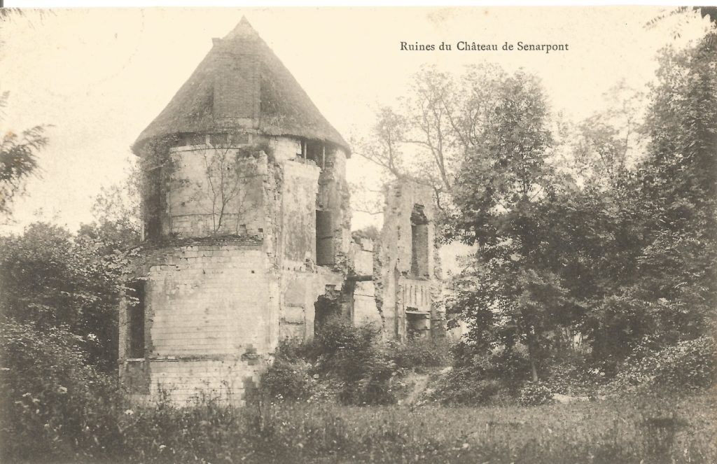
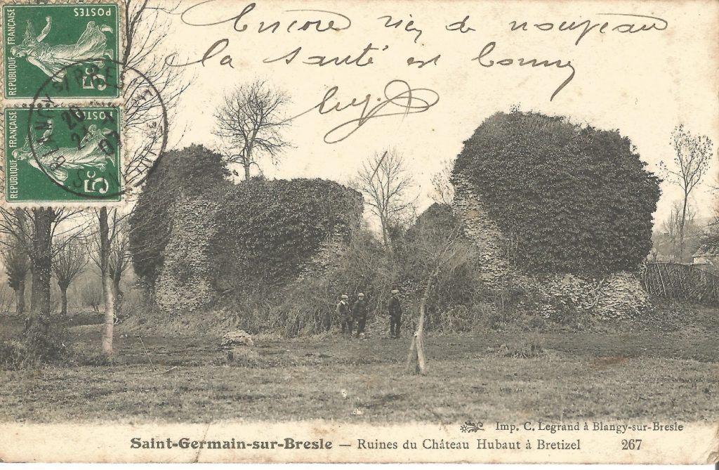
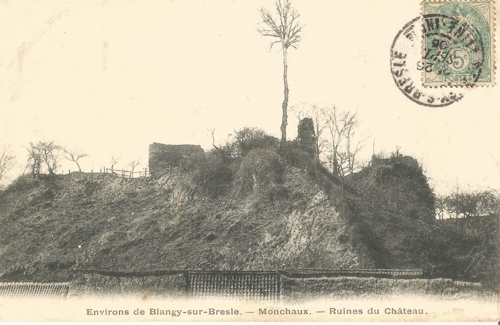
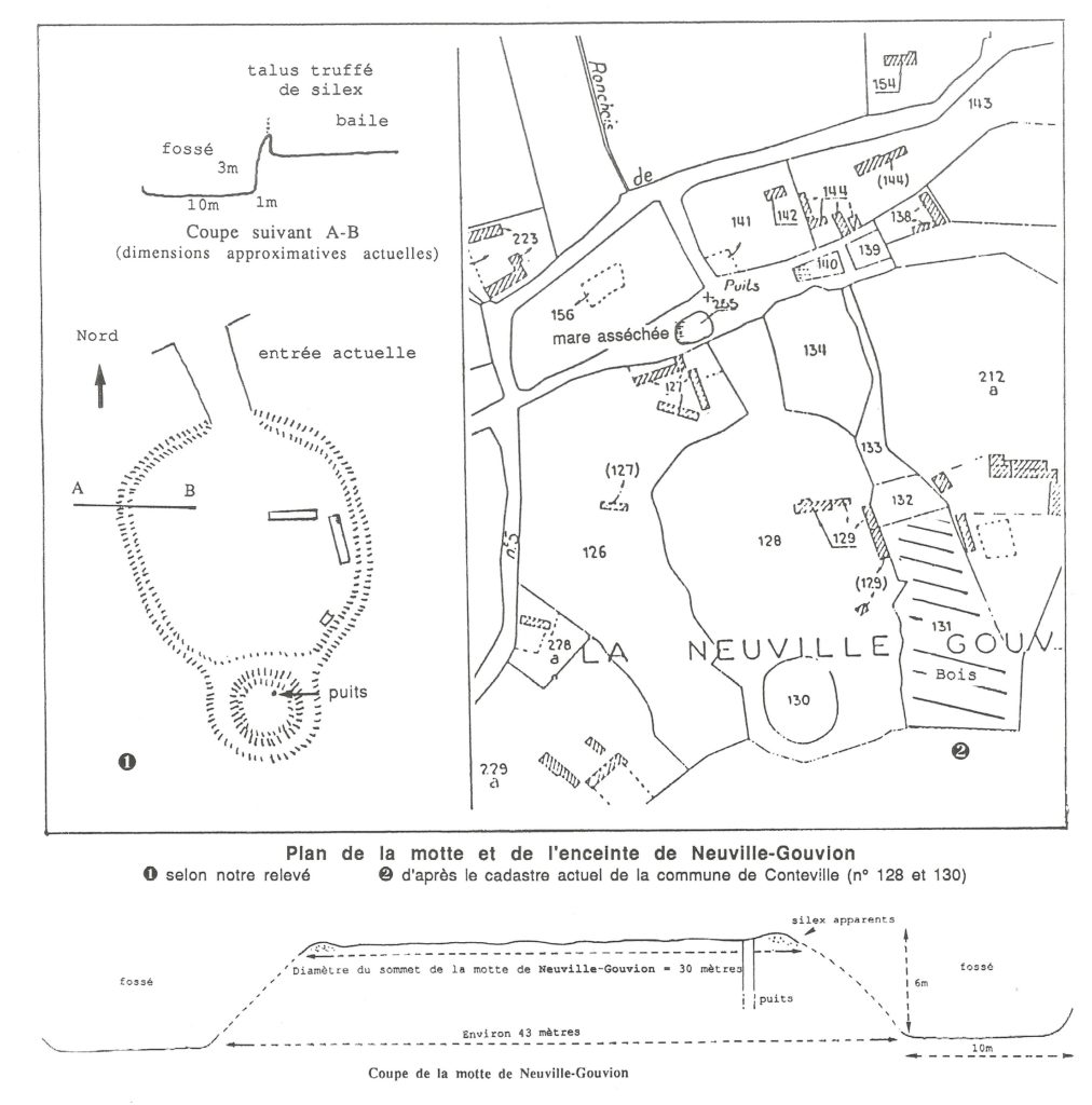
Vallée de LA BRESLE : Rive gauche (Seine-Maritime) : Eu, Guerville, Guilmécourt, Saint-Germain-sur-Bresle / Brétizel, Monchaux-Soreng, Aumale – Rive droite (Somme) : Gamaches, Bouillancourt-en-Séry, Sénarpont – Plateau sud Bresle (Seine-Maritime) : Conteville / Neuville-Gouvion (Fossé du Roi)
Vallée de L’YERES : Criel / Saint-Léonard, Cuverville-sur-Yères, Saint-Martin-le-Gaillard
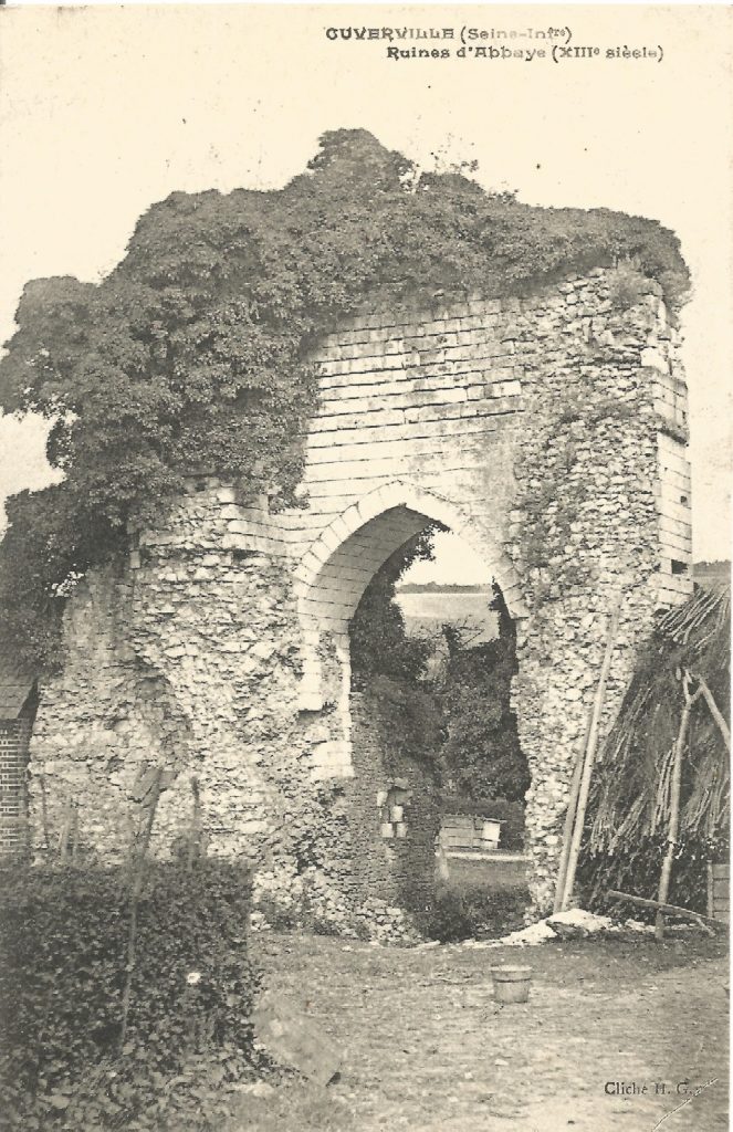
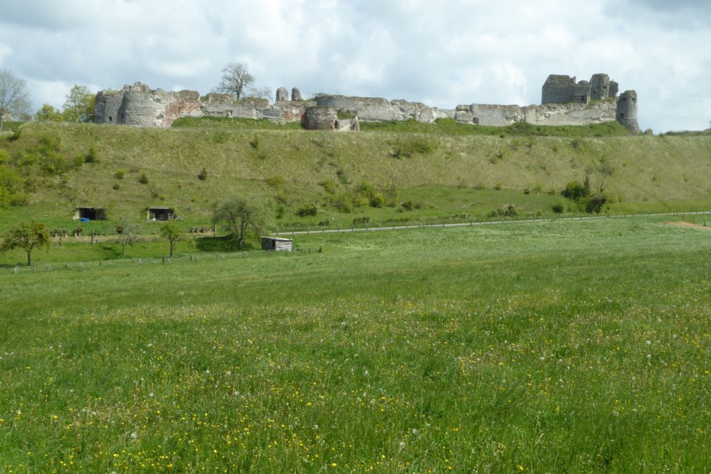
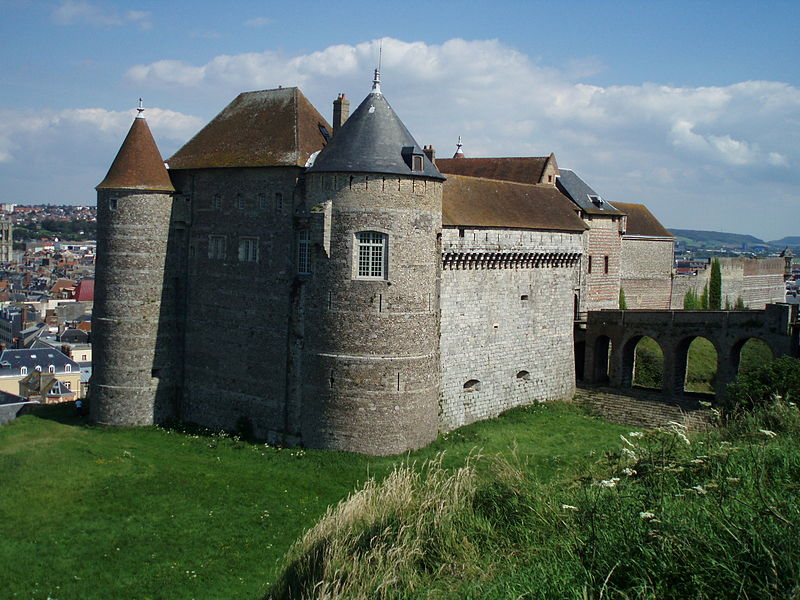
It has been restaured recently.
Vallée de L’EAULNE : Mortemer, Wanchy, Pont-Trancart
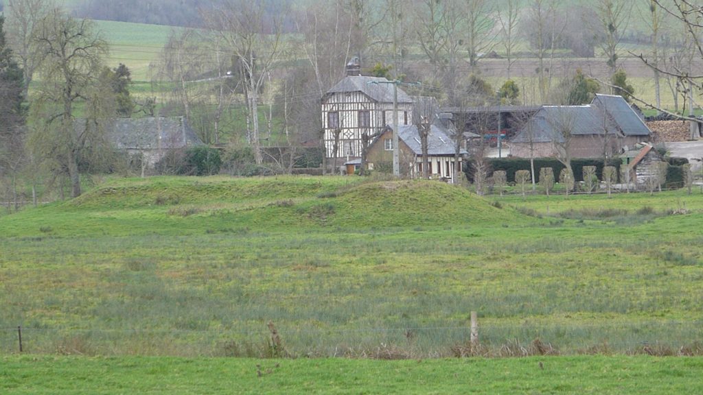
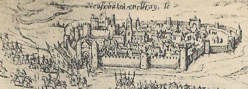
Vallée de LA BETHUNE, de L’ARQUES : Dieppe, Arques-la-Bataille, Berneval (château des 40 acres sur le plateau au nord de Dieppe), Bures-en-Bray, Neufchâtel-en-Bray, Beaussault, Gaillefontaine
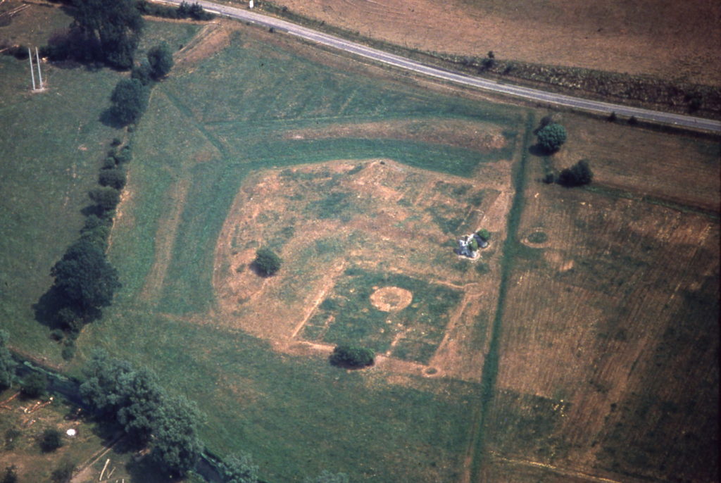
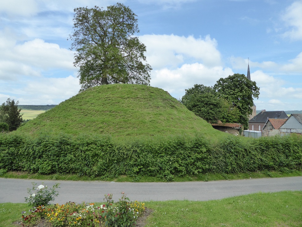
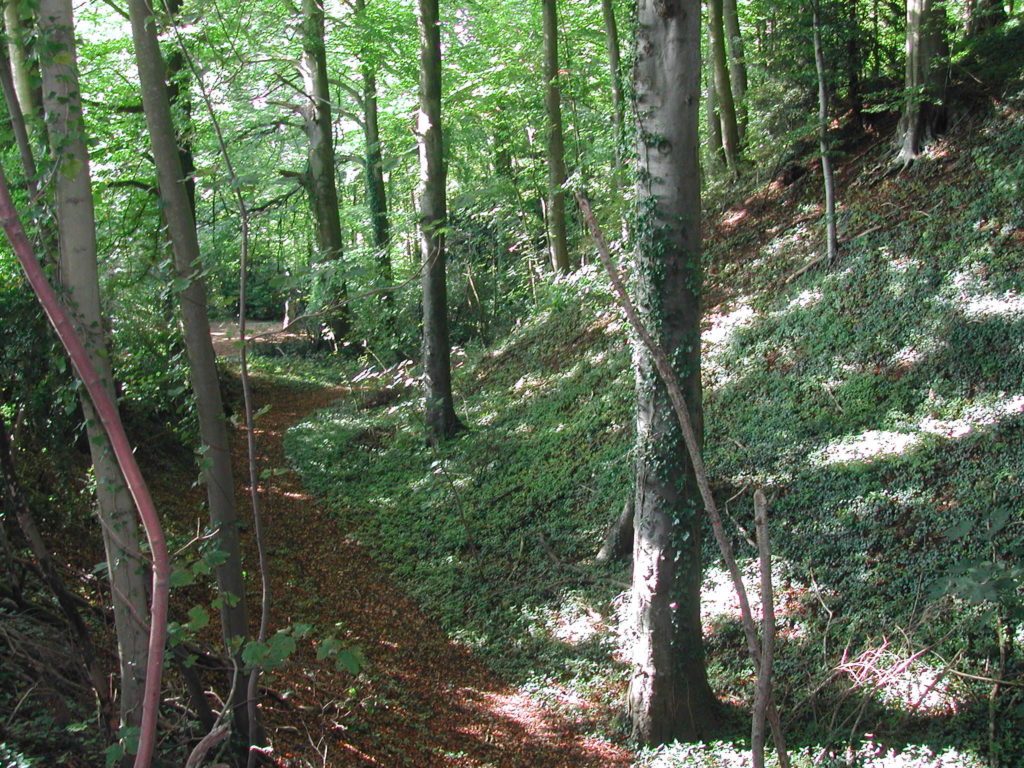
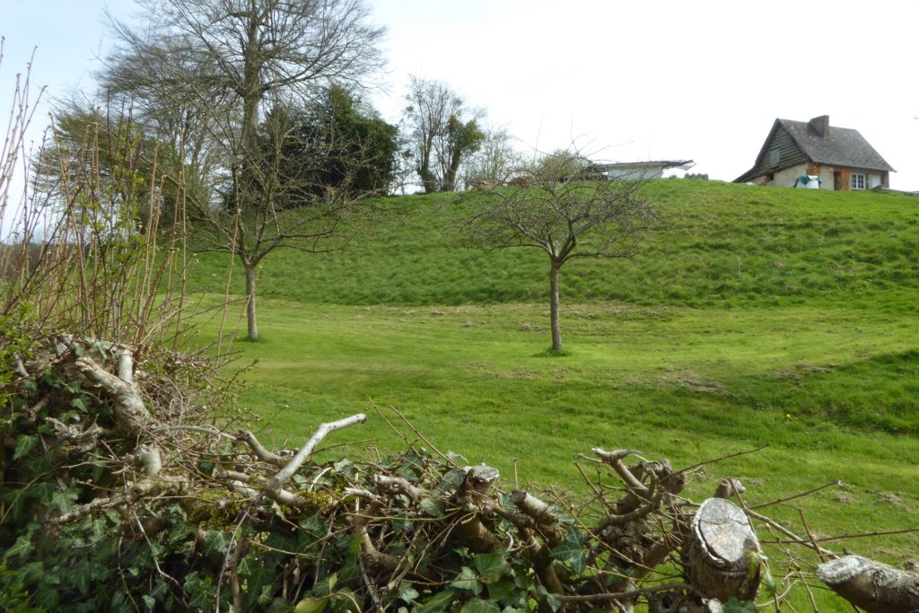
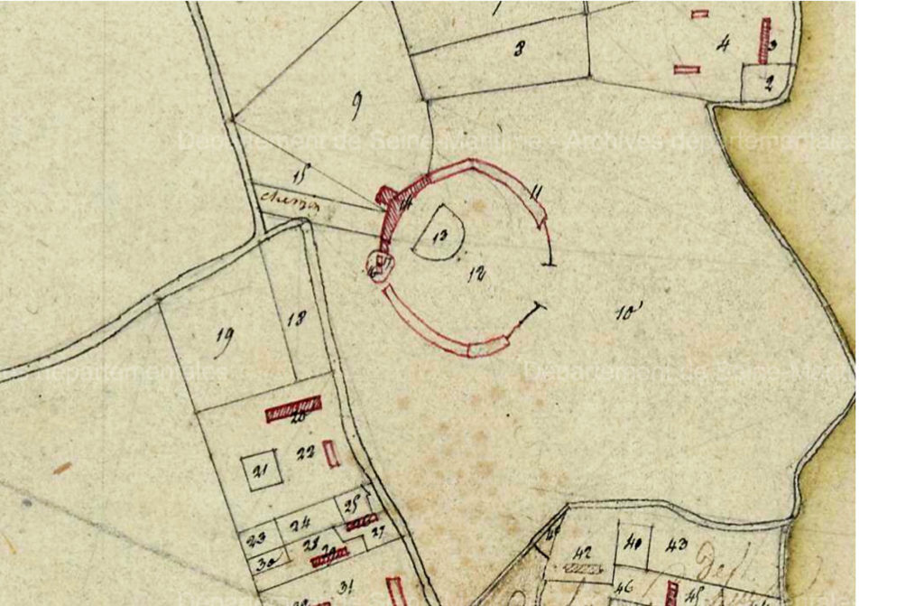
Today we only can see the bailey (motte) and the moat.
On the right, the Norman square keep
Vallée de LA VARENNE : Bellencombre / La Grande Heuze, Saint-Saëns, Torcy-le-Grand
Vallée de LA SCIE : Hautot-sur-Mer, Longueville-sur-Scie